Monday, October 23, 2023

Day 46 - 10/20 - Flagstaff to Mancos near Cortez

It was another one of those travel days. Our journey took us eastward on I-40 to Gallup, New Mexico where we turned northward to head to Cortez, Colorado. At Cortez we turned east and drove a few more miles to Mancos, which is at the entrance of Mesa Verde National Park.

The scenery changed many times along the 325 mile route. Around Flagstaff there are still a variety of pine, spruce, and juniper trees on the sides of the mountains. Though we drove by Winslow, we didn’t stop for a photo at a famous corner. Then, in less than 15 minutes of travel the landscape changed back to high dessert with yucca plants, sagebrush, and stubby trees and shrubs. Of course, we encountered some old roadbed of US 66. In another few minutes we were driving through Petrified Forest National Park while being parallel to the BNSF tracks. We commented to each other as to the number of trains we saw along a 30-mile stretch. Around Petrified Forest we could see the multi-colored formations shaped like teepees.

Then, at Gallup we turned north on US 491 and drove through Navajo lands before reaching the Ute Reservation south of Cortez. The landscape was high desert with mountainous areas and wildly varied rock formations shaped by exposure to wind. Though the roadway was in good shape, there were places where ground heave took advantage of the situation and presented several spots where dips in the pavement made it seem like we were encountering stiff waves.

Yes, we could have gone through the four-corners area. We elected not to because of the elevation difference. Though we’ve done so on this trip in other places, the roads and grades over the passes through that area are a bit hostile. That is why we drove to Gallup before going northward.

rock formation north of gallup
This formation on US 461 between Gallup and Shiprock
is the most photographed formation on that stretch of road.

Chuska Mountains
While traveling through Navaho, the Chuska Mountains with
their volcanic rock and pine tree can be seen briefly.
Geologically, they are on the southeastern edge 
of the Colorado Plateau.

Mesa Verde RV - 1
Our site at Mesa Verde RV Campground in Mantos, Colorado.
It was the widest and longest sites we’ve had on this trip.
The all-rock surface is from the region.

out the windshield
This was our view looking northward from our RV site.


Sunday, October 22, 2023

Day 45 - 10/19 - Day Trip to Sedona

Though we are spending two nights in Flagstaff diidn't mean we had to stay. After all, we had visited Grand Canyon NP in 2013. So, we headed south about 32 miles to Sedona, an area where we have never been but wanted to see we heard it was a beautiful place. Sedona didn’t disappoint even though the town, itself, is the touristy Gatlinburg of the west. If you like crowds, slow traffic, and shops galore, go to Sedona or Gatlinburg. But, if you want to see the other aspects of the locations you have to get away from the retail environment. Of course, what is seen around Sedona is vastly different from what can be witnessed around Gatlinburg and the Great Smoky Mountains.

approaching Sedona
As we exited our twisting ride through Oak Creek Canyon,
we were presented with a clear view of Cathedral Rock,
a formation of rocks that prominently overlook Sedona.
It is a natural sandstone butte and one of the
most-photographed sights in Arizona.

Our route took us down in elevation through the Oak Creek Canyon. As one would imagine, Oak Creek goes from the upper elevation of Northern Arizona toward the Verde Valley. The canyon walls are always not far from the creek and roadway on either side. Of course, the many curves along the path made for an interesting drive in addition to the changes in the types of trees in transitioning from altitude to another.

oak creek canyon - wikipedia
This photo, from Wikipedia, show how deep Oak Creek Canyon is.
It was formed along a fault many, many years ago. The canyon is often
described as being a cousin of Grand Canyon because of its scenic beauty.
The hairpin turns of State Route 89A run for about 13 miles from
south of Flagstaff to just north of Sedona.

Our first stop was the Sedona Visitor Center where we talked with a delightful lady from Cincinnati, Ohio. She gave us maps and good information. Then, we set off for a brief visit around Sedona.

We had planned to hike to the base of Chimney Rock. Where the trail was to begin we came upon the Amitabha Stupa, a Buddhist location. Stupas are the oldest form of sacred architecture on the planet. While we don’t embrace the Buddhist beliefs, it is interesting to visit these outdoor centers created for meditative experiences. It was very characteristic of the Buddhist Garden we encountered in Montana. It though similar, was on a grander scale. The Amitabha Stupa is very simple in comparison. Even though these structures are outdoors, there is a sense of reverence as you approach the area. Those visiting also conduct themselves in reverent manner while at the site.

chimney rock
Chimney Rock is just northeast of downtown Sedona. Several trails
wind around the sandstone formation.

Amitabha Stupa
Amitabha Stupa sits on land at the southeastern base of
Chimney Rock. As with other Stupas, silk flags with messages
or prayers (peace flags) decorate the area. The flags may be
hung to a line or just attached to branches in a bush.

Our next stop was the Airport Overlook which provides a view of the Verde Valley and Sedona from an elevation of about 500 feet above the area. The runway and buildings sit on a mesa. By the way, the airport is not controlled but there is a good video on You Tube explaining the intricacies of using the airport. You see, though it is on a mesa, there is taller topology that surrounds the airport that can cause tricky winds, etc.

Cathedral Rock lower elevation
Cathedral Rock can be easily seen from nearly anywhere in Sedona
since it dominates the skyline. This is the view presented
at the foot of Airport Road.

Cathedral Rock from airport mesa
After an ascent of 500 feet to the mesa on which the airport
sits, the valley below can easily be seen. That may or many not be our
retirement home at the lower right. It looks fine enough to be.

From there, we made our way to the Chapel of the Holy Cross. This was yet another spiritual experience with a Catholic overtone. The Chapel was built by Marguerite Brunswick Staude as a monument to faith. It sits on a twin pinnacled spur, about 250 feet in height, jutting out a thousand-foot rock wall. The architecture and construction was designed to blend into the red rock environment of Sedona.

Chapel of the Holy Cross
Here we are below the Chapel of the Holy Cross.

the nuns and madonna
Formations that inspired the placement of the Chapel are
The Nuns (the two pillars) and the Madonna (the
erect formation immediately to the left).

sanctuary of Chapel of the Holy Cross
With the large window behind and the cross embedded
in the architectural design, this Crucifix is affixed.
It is made of native wood and a sculpture of bronze.
The walls are of concrete with exposed aggregate and
tinted red in color.

Our last stop was Javelina Cantina for a delightful lunch of Mexican food with some friends. We met these two ladies nine years ago at an international Newmar rally in Escanaba, Michigan. Since meeting them there, we’ve maintained contact with Rosanne and Sue. We have crossed paths over the years and always have fun catching up with each other. We had so much fun, we forgot to get a picture of our time together

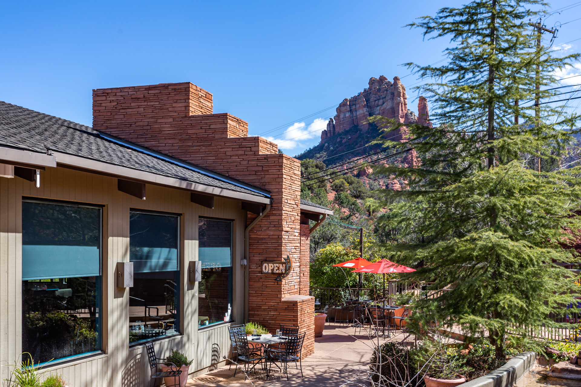
javelina cantina
There is no escaping a view of Cathedral Rocks, not even at 
Javelina Cantina, a highly-rated restaurant off the beaten
path in Sedona.

at flagstaff koa
At the conclusion of our time in Sedona, we returned
to the quiet shade of our campsite at Flagstaff KOA.
The cottonwoods are busy dropping their leaves
in preparation for winter.


Saturday, October 21, 2023

Day 44 - 10/18 - Traveling from Las Vegas to Flagtaff

You guessed it. Today was an another travel day, The difference between RVing and cruising by ship is that we move by day instead of my night. The nice thing about that is getting to see the scenery change. It is our belief that most people have never thought about how much the topology can change by traveling less than 200 miles. On this trip, we’ve seen a lot of changes. Each area of the country has its own beauty; beauty that needs to be conserved and cared for and not abused or ignored.

We left the desert country of Vegas and headed southeast to Flagstaff, a trip of 260 miles. We retraced some of yesterday’s miles since we had to go over the Colorado River at Hoover Dam. Of course, with the solid railing of the bridge, we were not able to see anything below us. Per usual, there were changes in elevation. Watching the temperature of the engine coolant was important. Had the ambient temperature been 10 degrees warmer it could have been a problem. Thankfully, it wasn’t.

We arrived in Flagstaff about 2:30 PM to some milder temperatures. Flagstaff is still in a mountainous region though the topology is different. The change between Las Vegas and Flagstaff is gradual in that the bushes that dot the landscape change to evergreen trees. At Flagstaff, there are deciduous trees that are showing signs of Fall. The yellow color of the leaves mixed with the green of the conifers were things we haven’t seen in a while. 

We were here in Flagstaff at the KOA 10 years ago. At that time the KOA campground was way out of town as in now stores or shopping centers. Now, town has come to the entrance of the campground. Is this what we call ”progress?”

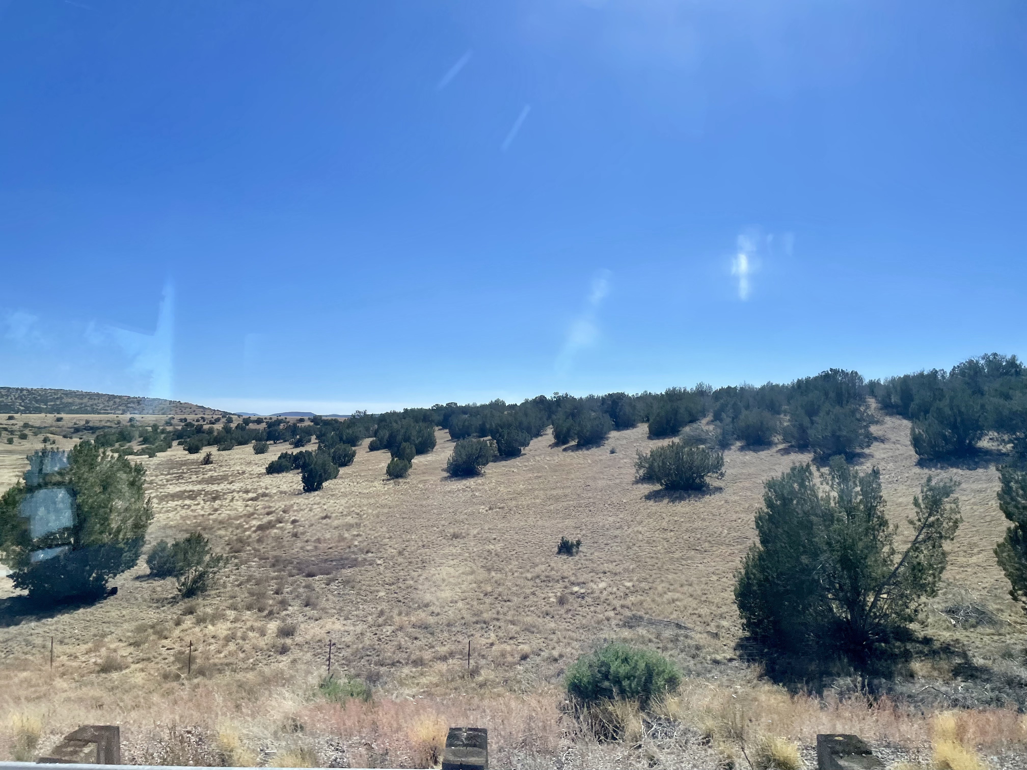
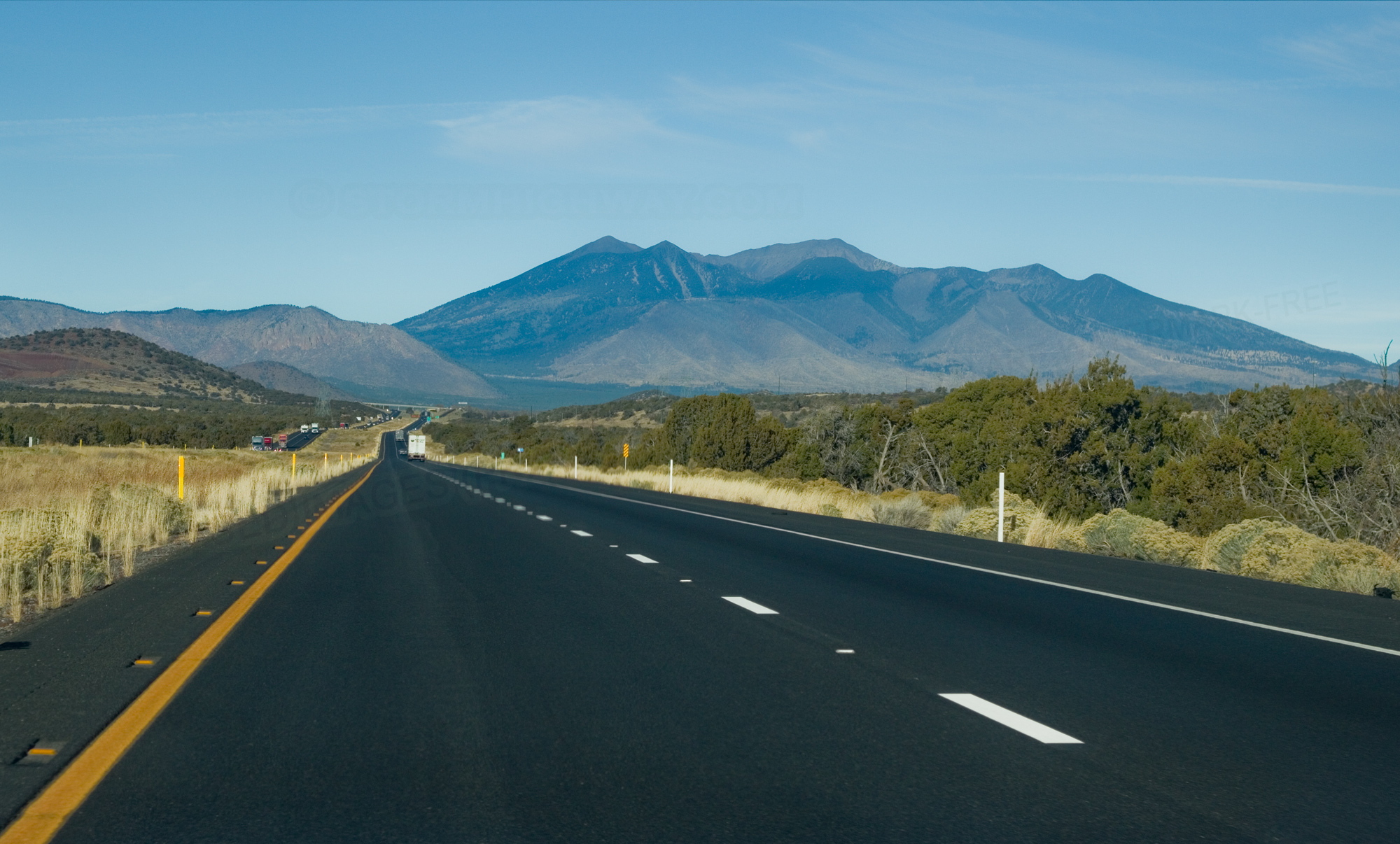
The photos, shown below, present the changes in scenery from Las Vegas to Flagstaff. The first two were taken looking out the side window of the motorhome. The second two were taken looking through the windshield.

I-40 leaving Las Vegas

I-40 near Hoover Dam

I-40 near Flagstaff

I-40 approaching Flagstaff


Thursday, October 19, 2023

Day 43 - 10/17 - Visit to Hoover Dam (formerly Boulder Dam)

Earlier in our trip we visited Grand Coulee Dam. Today we headed out toward Boulder City to visit Hoover Dam.

Comparison to the two dams is hard to avoid. Though both were started during the Great Depression, Hoover was completed in 1936 and Grand Coulee in 1942. Work on Hoover was begun in 1931 and work on Grand Coulee followed two years later. Both are concrete gravity dams. Hoover is a tall arch and Grand Coulee is straight and wide. Hoover is 726 feet in height while Grand Coulee is 550 feet. Grand Coulee is four times the width of Hoover Dam. Because of its size (volume of concrete), Grand Coulee took longer to build. Now for one more fact in the form of a question. Which holds the largest volume of water (reservoir)? It is Grand Coulee Dam. One reason is that the Columbia River, which is dams, is much wider than the Colorado River at Black Canyon. By the way, the dam sits on the border between Nevada and Arizona with the visitor center being on the Nevada side.

OK. Enough with those facts. It’s time to display the photos.

first view
Our first view of Lake Meade (in the distance) was from the
interstate as the roadway led down to 400 feet above the
highest point of the dam.

the graphic
Early in the tour we were told how the dam was built with
coffer dams created on the upper and lower areas. Two channels
were created to direct the flow of the river around the construction
site until the time came to start filling the man-made lake and
putting the dam into electrical production and flood control.

the huge pipes
Through these large tubes flows the water that is fed into the
swirling rotors of the electrical generators.

the generators
This is a new of one of the galleries where the turbines
are placed. One of the electrical generators was being
serviced when we were present (replacing some stators).

in an access tunnel
Our guide told us a bunch of dam stories and jokes. The curved
hallway in which we were standing is for tourists. One above
us is used for workers. Neither the two meet.

looking out a vent
Connecting tunnels exist that lead to several vents on the
lower side of the dam. The vents help in air flow which is
important for the internal guts of such a large structure of concrete.
This vent was about 90 feet from the top of the dam.

looking down to the river
This view is what can be seen through the vents; a long way
to the bottom and the service platforms.

original water tunnel now used for pedestrians
This is the interior of one of the original passageways built
to allow the flow of water around the construction area.
The floor is not flat so walking was more like waddling.

level of lake mead
This photo shows how dramatically low level of Lake Mead.
Today it is still about 165 feet below normal pool level as
evidenced by the line in the rocky walls.

how a dam is built
A model of how the dam was built. Once pouring of concrete
was begun in its various sections, only two holidays
were observed per year; Independence Day and Christmas.
Speculation is that such a project could not be completed
today under current labor and regulation trends. Also, there
was no such thing as an 8-hour day or overtime.

point of reference
Though there are 15 dams on the Colorado River, Hoover is
the largest and provides the area with the most electricity
in addition to creating the largest reservoir, Lake Mead.

border
Here you see Byron, standing in Nevada,
and Martha, standing in Arizona.

upper and lower basin
A graphic showing the Colorado basin, the upper and the
lower basins. Natural features of elevation create the
Colorado River Basin with two dams primarily providing
flood and irrigation control.


Day 42 - 10/16 - Visit and Walk in Red Rock Canyon

Today’s trek was to Red Rock Canyon National Conservation Area west of Las Vegas.  A National Conservation Area is different from a National Park in that parks are more recreation focused. National Conservation Areas are designated as such to conserve, protect, enhance, and manage public lands for current and future generations. They come under the auspices of the Bureau of Land Management rather than the National Park Service.

Red Rock entrance marker
Welcome to Red Rock Canyon.

Red Rock Canyon offers a 13-mile scenic drive, miles of hiking trails, rock climbing, horseback riding, mountain biking, road biking, picnic areas, and a visitor center offering indoor and outdoor exhibits. Parking areas are available throughout the scenic drive. At each parking area one may pick up a trail head. Trails are 26 marked trails within Red Rock.

We opted for a mile hike in the Lost Creek area. The trail rose and fell up to 150 feet in elevation change in three locations. We walked among cacti, a variety or spruce, some form of holly, wild flowers, and other vegetation native to the Mojave Desert. Once again, pictures do not do justice the beauty of the area.

By the way, though tourism industry remains Nevada's largest employer, mining continues as a substantial sector of the economy. In fact, Nevada is the fourth-largest producer of gold in the world and produces 75% of the gold within the US economy. Nevada is also a leading producer of silver and copper production. Nevada is also a significant source of a variety of minerals, such as lithium, iron, and molybdenum, necessary for the manufacturing of consumer and commercial goods so important to our contemporary lifestyles. And, as the US and other countries move toward solar and wind energy, battery production (and the minerals involved) will mean production in Nevada will continue.

from visitor center
The view of the hills forming the canyon reveal the variety of
colors because of the rich and varying content of minerals.

along the scenic drive
One of the stops along the 13-mile drive provides an opportunity
to get close to some of the large, red boulders.

interpretation
Byron always likes photos of interpretive sign, especially if they can
be read later to refresh the mind.

along the lost creek path
The trails are rocky and sandy just as the ground surrounding them.
Therefore, the trails need to be clearly marked. Along the path
the varieties of vegetation is easily noticed.

a variety of cactus
Don’t ask the type of cactus this is because we don’t know.
It is definitely prevalent and somewhat distinct in this area.

So long, folks
And now, for the remainder of the hike…


Wednesday, October 18, 2023

Day 41 - 10/15 - To Las Vegas and a Night Tour

This was yet another day for traveling with a bit of sight-seeing tacked on at our destination. We left the Los Angeles area and traveled through the hills of the San Bernardino Forest and through the relatively flat Mojave Desert to Las Vegas. Not far out of the San Dimas Valley, we were greeted with desert scenery; mountains of just dirt and rocks of all sizes with not a tree in site. At the base of the mountains, scrubby bushes dotted the landscape. We crossed two passes of about 4,000 feet each before dropping down into the Vegas area. On the way, the desert changed by adding cactus. It was interesting.

Front Window California
The high desert of south-central California shows little sign of
much by the way of green color. The hills, however, do have
different colors because of the different mineral makeup.

Side Window Nevada
As we got closer to Nevada, cactus plants of two varieties
began to appear on the horizon.

We took a Big Bus night tour of Las Vegas. Unlike the taped narration of San Francisco, we had a live guide. He was OK but hard to hear. Instead of ear phones for each occupant, there were small speakers about every other seat or so. We weren't near one. We probably hear half of what he said. We heard more wind noise and chatter of those behind us.

lv sign by night
The tour took us past the famous welcome sign near the
edge of Las Vegas.

Paris Panet
The tall casino hotels are in the newer section of Las Vegas.
Lights are everywhere and you know who pays the bill; losers.

eiffel tower lv
Every big city needs an Eiffel Tower. This includes Las Vegas.

Ceasar’s Palace
We learned there are two, main property owners around
the strip. MGM and Ceasar's Palace Entertainment.

Golden Nugget
Our tour included a trip up the main drag to the older section
of hotels and casinos. We were allowed an hour to walk
around the area between the Golden Nugget and the Fremont.
The enclosed streets are filled with people and street performers
with their ”contribution” cans prominently displayed.
They called this “the Fremont Experience” which features
 a light show every hour on the ceiling of the covered streets.

Fremont Street got its start back in 1905 when William Clark held a land auction for the construction of the railroad that went from Salt Lake City to Los Angeles. Fremont Street started with two hotels and has evolved over the years. It now has about 26 million visitors annually and covers five city blocks with direct access to eight downtown hotel casinos. The central attraction is a barrel vault canopy 90 ft high at the peak and four blocks long. Free concerts are held on the three stages in the area. There is a SlotZilla zip line attraction in addition to stores and restaurants.

Vegas was a busy place. The Raiders had played earlier in the day and Nascar was in town as was a golf tournament. The streets and sidewalks were full of people looking for somewhere to go or something to do. The city was alive and just as crowded as any big day at Walt Disney World. Plus, it was loud!

Having had enough noise and lights, we returned to the motor home to close out the day. After all, we needed to get ready for milder experiences over the next few days, the kind that don't involve hoards of people.


Tuesday, October 17, 2023

Day 40 - 10/14 - Football and Rest Day

Last week we celebrated a day for watching football and resting (catching up on dealing with our photos and thoughts) by not going anywhere. Since it was so successful, we decided not to drive the nearly 100 miles (one way) to an entrance Joshua Tree to some of what we’ll see when going to Las Vegas.

For Georgia fans, it was a good day. For Louisville fans, it was not so good.

Bonelli Sign
Bonelli Park is a Los Angeles County Park. It is in a great location
and offers a lot of amenities.

Bonelli Site
Our site is interesting in that the paved portion is very wide
but not wide enough for us to pull our vehicle parallel
to the motorhome. And over-the-air TV? How about
more than 80 in English, Spanish, and other languages.