Our trip has been completed. What a tour! We saw much in 62 days from September 6 through November 5.
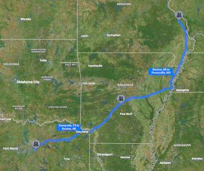
On Thursday, November 2, we left Plantation Place on the northeast edge of the Dallas metroplex and traveled to a campground near Benton, Arkansas. This day marked the first of the longer drives as we headed back toward Louisville through Southeast Missouri. Of all the campgrounds we had stayed in, the one in Benton was probably the dustiest.
After a good night of rest, we struck out for Perryville, Missouri on Friday, November 5. This travel day clearly took us across a good bit of Arkansas before turning north near West Memphis on I-55. Perryville was the nearest campground still open to the attraction we were to visit on Saturday.
On Saturday. Day 61, we didn’t quite know what to expect other than to ride on a pontoon boat as part of a tour through the Bonne Terre Mine in the small town by that name. The 51-mile trip on the hilly and curvy county roads of the eastern fringe of the Ozark Mountains is a bit of a thrill all its own. We absolutely had no traffic issues like Los Angeles can present or the number of trucks one encounters on I-40 east of Little Rock.
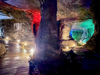
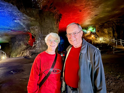
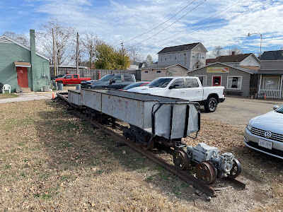
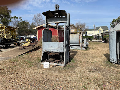
We drove onto the property of the Bonne Terre Mine and quickly observed that the attraction is privately operated. Though at bit “quaint” in appearance, the experience of going into what was a working mine is quite interesting.
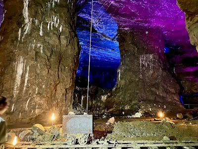
Bonne Terre Mine first began operation around 1860 and operated for more than 100 years until 1962. Galena was the mineral that was mined, a mineral of historical and geological significance. It served as a primary source of lead, which was employed in various applications ranging from pipes and bullets to pigments and lead-acid batteries. In addition to lead, it can be found with deposits of silver sometimes intermingled. As a result, silver became the secondary ore mined at Bonne Terre.
Bonne Terre is one of the world’s largest man-made caverns and the earliest deep-earth lead mins. It was the world’s largest producers of lead ore until it was closed. When mining ceased, it had five levels and was excavated to a depth of 500 feet covering one mile by two miles. During its operation, pumps were installed to remove water so the interior of the mine could remain dry.
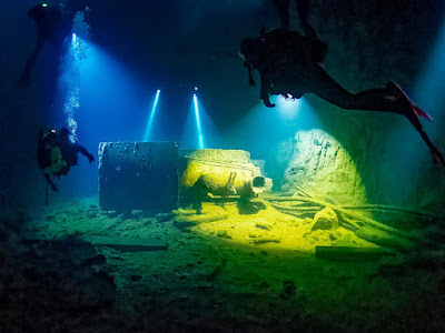
Once the mine ceased operation, ground water began to collect in the mine. Ultimately it formed the billion-gallon underground lake that currently exists. (There is no water source such as a natural spring or underground river to fee the mine.) All the water in the lake is from ground water seeping into the mine through a variety of cracks and crevices. The water maintains an alkalinity of 7.5 to 8 making it safe to drink. The color of the water is reflected naturally from the rock within the mine.
In addition to the mine tours, there is a scuba diving enterprise operating at the mine. It is internationally known of many scuba enthusiasts. The water fills the two lower levels where there are about 50 trails that have been developed. Each diving trail is about 1/2 mile in length. Equipment that was left behind can be examined by divers. There’s even a small steam engine that can be explored.
was left behind when the mine closed. It is now
Our journey involved 7,161 miles of travel in our motorhome. This, of course, does not include the miles we drove from the various campgrounds to the national parks, museums, and other places of interest we toured. We spent 61 nights in 29 different campgrounds (aka RV resorts) and always slept on our own bed with our own pillows.
For all of you who chose to travel along with us, we hope you have enjoyed reading about our adventure westward across the Rocky Mountains. Perhaps, you have added an item to your bucket list. If not, we encourage you to make an effort to explore more of our great nation and all or its marvelous variety. It’s been a great trip and one we’re glad we made.



No comments:
Post a Comment