This was a combination day; traveling from the campground east of Spokane to the small town of Wilbur, Washington. Wilber is near Grand Coulee Dam. The town is so small that it doesn’t have a Walmart. However, it is getting a Dollar General.
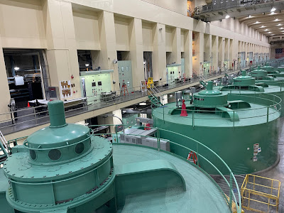
Our overnight point was Goose Creek Campground. Our main reason for this stop was to visit Grand Coulee Dam. We arrived in at the Visitor Center in time for the 3:30 tour of the dam. After a rigorous security screening, our tour group was driven by van to one of the power houses where we descended below water level by elevator for a view of the turbine-driven generators. (Our guide had worked in Kentucky at Mammoth Cave; small world.)
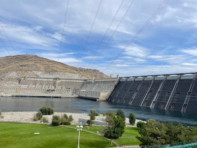
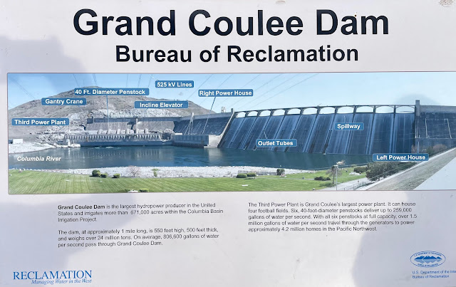
Grand Coulee Dam is 500 feet wide at its base, stands 550 feet tall, and weighs 24 million tons. It’s weight alone holds it in place. There are now three power stations at the dam. The first two were installed when the dam was built in the 1930s. The third was created in the 1960s. Though containing the same number of generators, they are more powerful that the original ones. The newer power house generates 60% of the electrical energy produced at Grand Coulee. This power plan can house four football fields. We were told that Grand Coulee has yet to function at maximum capacity.
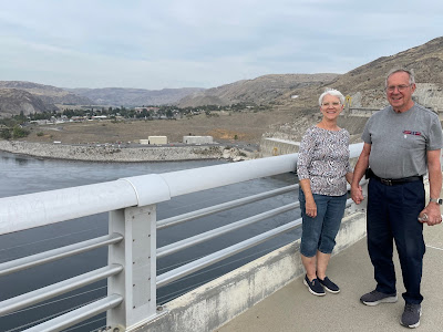
After a tour of the power house, we were taken by van out onto the top of the dam which stretches a mile across Theodore Roosevelt Lake. Until 9/11/2001, traffic could drive across the dam but it is no longer permitted except by authorized personnel and escorted tours.
Grand Coulee Dam is the largest hydropower producer in the United States and irrigates more than 671,000 acres within the Columbia Basin. In total, the six penstocks deliver 259,000 gallons of water per second traveling through the generators to power approximately 4.2 million homes in the Pacific Northwest. There is a reason this dam is the Eighth Wonder of the world!
of the dam. The show was 30 minutes in length complete with
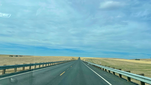
By the way, this photo was taken between mountain ranges in the Rockies; such a wide expanse of gently rolling hills with changes in elevation of a few hundred feet. Still, far from the nearest grocery. In addition to the high plains, there are some areas that are called scablands because they are made of rocky and mineral-enriched soil (not tillable) that is mixed with large shards of lava. Lava does break down easily into small rocks like large clumps of coal.

No comments:
Post a Comment