Yep. It was another travel day. We drove from east-central Washington (near Grand Coulee Dam in Wilbur) through Moses Lake to Gig Harbor. Gig Harbor is on the western side of Puget Sound across from Seattle and Tacoma. The distance traveled was about 280 miles. We went toward Moses Lake because we needed to refuel with diesel and truck stops aren’t generously located in the middle of the state.
As stated, we were in search of a good for diesel fuel stop and our mapping app gave us a choice of three routes. Byron voted for the route with the least amount of turns. We started without having an idea of the views that would lie before us.
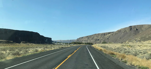
We drove across the earthen dam on the south end of Banks Lake, which is a reservoir for the Grand Coulee Dam. As we traveled southward to Moses Lake (the town) we drove along side other lakes that stretch lengthwise down to where we picked up I-90; Park Lake, Blue Lake, Lenore Lake, and Soap Lake. All the time on this part of the trip we were gently descending in elevation.
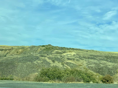
Before getting the south end of Banks Lake we drove through some “scab lands” as we had the day before. The word scab is used to describe the rocky nature. That land, touch somewhat ugly, is almost pretty.
The largest (longest) lake we encountered was Lenore Lake. It is known for its very alkaline waters. Only Lahontan Cutthroat Trout can survive in the waters. The last lake before we reached I-90 was Moses Lake, named after an old Indian Chief who was head of the Sinkiuse Tribe.
Moses Lake was home to an Army Air Base that was built to train World War II pilots to fly the P-38 Lightning and B-17 Flying Fortress. The two planes that were very important to the war effort. After the war, the base was closed. It now serves as a regional airport. Byron commented that it must be a place where several airlines store planes that aren’t still in active use. We could see the tails of many brands of what appeared to be Boeing 737’s and, perhaps, MD-80/DC-9 airplanes.
Our traveling companion today was the wind for about a third of our trip. As soon as we left the Love’s station at Moses Lake we battled steady winds of up to 30 miles per hour. Since Martha was driving on this stretch, she noted that it was a lot of fun!
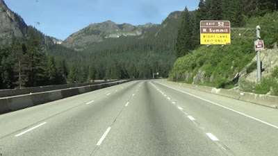
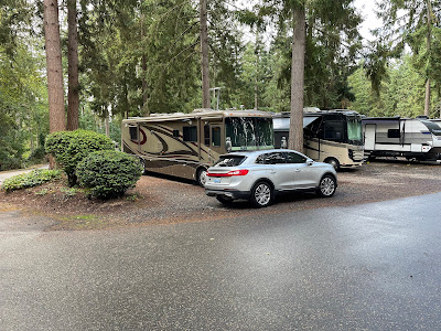
While traveling on I-90 we ascended to and crossed Snoqualmie Pass at about 3700 feet before descending to an elevation of 36 feet on our arrival at Gig Harbor. We will be at Sun Outdoors Gig Harbor for three nights in order to explore Seattle on Tuesday and Mount Rainier National Park on Wednesday.


No comments:
Post a Comment