We got a later start today. Yesterday, (Monday) was a long, full day and a challenge to our stamina.
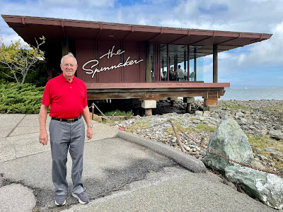
One of Byron’s objectives was to eat at his favorite restaurant one more time. So, Martha made a reservation for a 1:30 lunch at The Spinnaker in Sausalito. Given that fact, we needed to plan our time accordingly. That means taking into account drive time.
In addition to a lunch reservation, we wanted so see some San Francisco highlights from out car and moving at our own pace. Our GPS routed us around the east side of the bay and northward over the San Quentin Bridge to enter San Francisco via The Golden Gate Bridge.
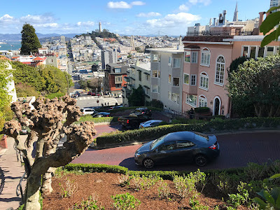
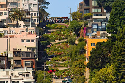
Our first stop was Lombard Street. Getting there involved going across Cow Hollow on Lombard and past Van Ness to the top of the hill. Then came the drive down drive through the six switchbacks on what is the equivalent of on block. It was interesting to drive that tight stretch and even more interesting with all the tourists walking around in the middle of the street. Neither of us can imagine living there! Just imagine the difficulty of moving in or out.
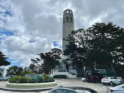
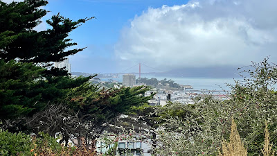
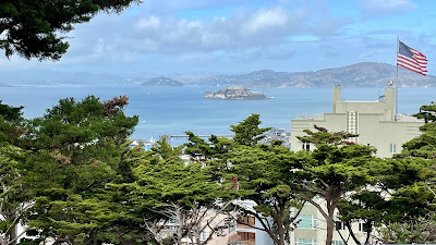
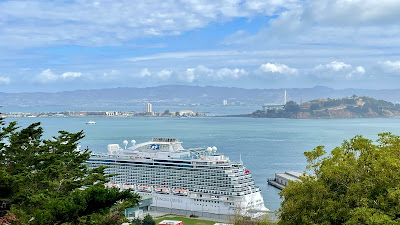
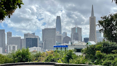
Having conquered Lombard Street, we headed on eastward on Lombard to Telegraph Hill and Coit Tower. Most of the views of the city are now blocked by overgrown trees. We could see see Alcatraz, the Oakland Bay Bridge, and even the Golden Gate Bridge. Coit Tower has an elevator to the viewing area at the top. It was out of order. That meant the only way up and down was 234 steps each way. We opted to save our energy and move on.
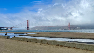
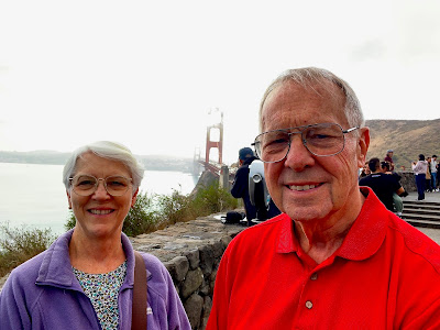
On our way to Sausalito, we drove through Crissy Field, formerly a military air strip that has been converted into a nice park and beach area. It is located west of Ghirardelli Square and east of the GG Bridge near the beach of the Bay.
We enjoyed a nice lunch on the bay at The Spinnaker where we watched a couple of sea lions or seals play in the water. After lunch we decided to say goodbye to SF and head back to the motorhome so we could rest and prepare for our travel day for Wednesday.

No comments:
Post a Comment